Thursday, September 30, 2021

Fall Leaves on the Y Mount


The Y is an iconic university letter on the face of the Wasatch Mountains in Northern Utah. It represents the Brigham Young University, which is usually referred to as the "Y." Here is a explanation from Wikipedia Y Mountain

Y Mountain is a mountain located directly east of Brigham Young University (BYU) in Provo, Utah, United States. The Slide Canyon, or Y Mountain Trail, leads to a large block Y located 1.06 miles (1.71 km) from a parking area at the mountain's base with an elevation gain of 1,074 feet (327 m). This hillside letter was built over a hundred years ago as the insignia for BYU. For years the trail to the Y has been one of the most hiked trails in Utah Valley and provides a scenic view of Provo and Orem, the rest of the many cities in Utah Valley and Utah Lake. The trail is also regularly used by hikers, bikers, paragliders and hunters to access the backcountry in the Slide Canyon area.

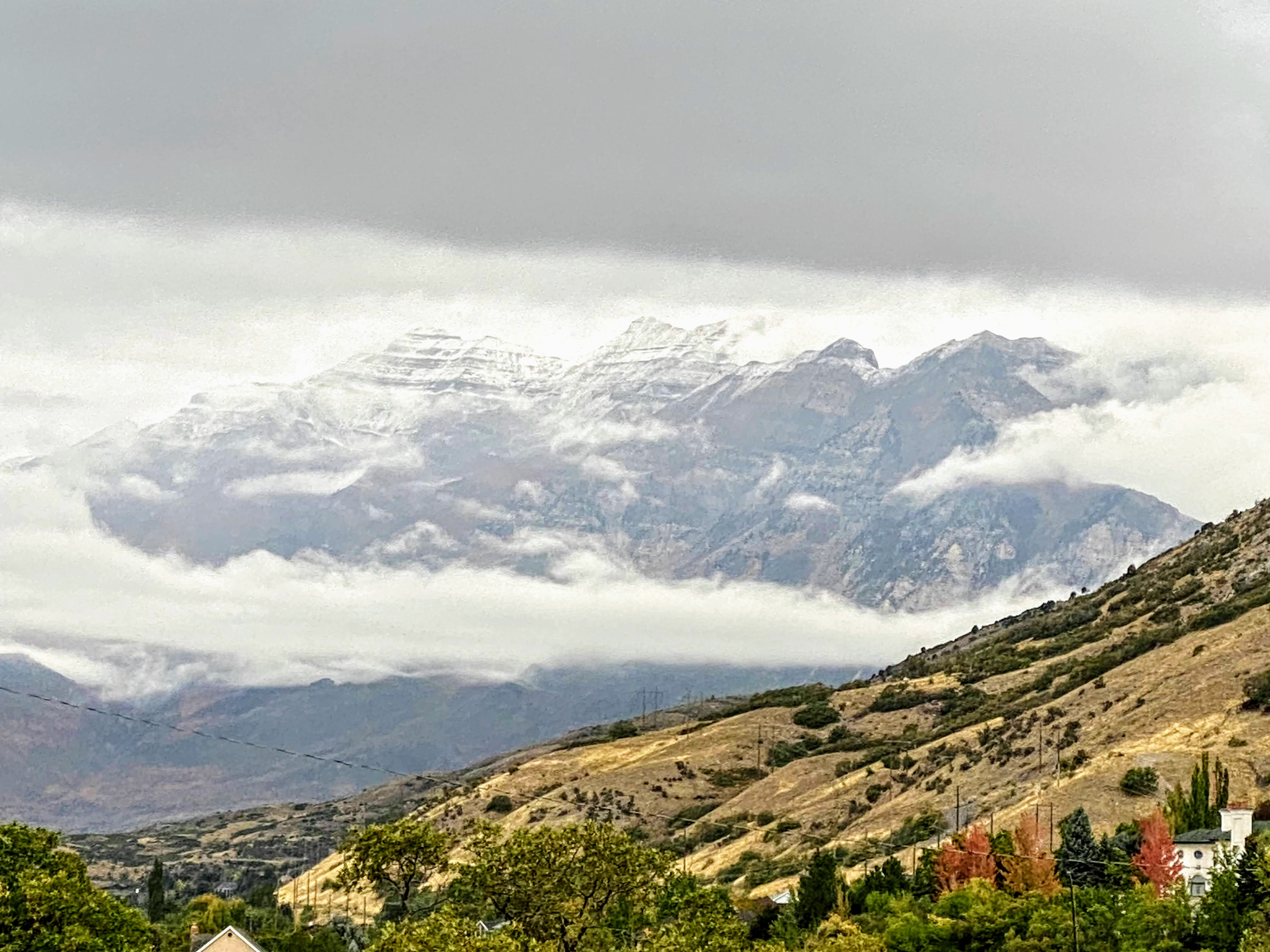
 We can't see the Y from our house because of a ridge on the southside of our property, but it is visible for miles from most parts of the Utah Valley. There is a tradition to hike up to the Y. We have done that several times. 

Wednesday, September 29, 2021

The First Snow on Mount Timpanogos Fall 2021


We woke up to a much colder and cloudy September day to see the first snow for the Fall season on Mount Timpanogos. You can also see a few of the leaves turning and it looks like winter is on its way.  Utah Valley September 2021.

Tuesday, September 28, 2021

Bison grazing in Yellowstone National Park


There are between 2,300 to 5,500 bison in Yellowstone National Park. See Frequently Asked Questions: Bison, National Park Service. During our last trip to Yellowstone, I think we saw a fairly high percentage of that number. They are the most evident of all the animals in the Park. When the move from pasture to pasture, they cause massive traffic jams in the summer months. 

Monday, September 27, 2021

Forest Regrown in Yellowstone National Park


Yellowstone Park has been ravaged by several large wildfires over the past years. When you drive through the park you can see the trees that were downed by the fires but you can also see the regrowth of the trees. If you look closely and click to enlarge this photo, you can see the downed trees on the mountainside and the new growth with trees all the same size. When the forest matures, the older trees die out and the newer trees grow to fill in the gaps and the trees are irregular in height.  

Friday, September 24, 2021

Phantom Ranch, Grand Canyon, Arizona


With an extra long lens, this is a photo of Phantom Ranch from the South Rim of the Grand Canyon in Arizona. Phantom Ranch is technically a part of the North Rim because it is on the North side of the Colorado River. The Ranch has lodging for those who hike or ride a mule into the Canyon. Reservations for lodging are usually only available up to a year in advance and are available only by a lottery. River boat excursions sometimes include a stay at Phantom Ranch. I have been to the bottom of the Grand Canyon five times but only once to Phantom Ranch. 

Thursday, September 23, 2021

Bright Angel Creek, Grand Canyon, Arizona


Bright Angel Creek forms a steep canyon into the Colorado River from the North Rim of the Grand Canyon, Arizona. There is a steep, much used, trail from the North Rim down the Canyon and up to the South Rim. The trail along Bright Angel Creek is known as the North Kaibab Trail which starts at an elevation of 8241 feet and ends at the Colorado River at an elevation of 2480 feet above sea level. The trail is a difficult 14 miles long. The trip up to the South Rim is the Bright Angel Trail which leads to some confusion between the north and south rims. The Bright Angel Trail starts at the river, at about the 2400 foot level and ends at the South Rim at 6,850 feet of elevation. The entire hike from Rim to Rim is about 24 miles, one way. I can say from personal experience it is a very long hike for one day. 

Wednesday, September 22, 2021

A Glimpe of the Colorado River, Grand Canyon, Arizona


From the South Rim, there are a few places where you can look down and see the Colorado River at the bottom of the Grand Canyon. You can also see part of the Bright Angel Trail. Hiking into and out of the Canyon is an adventure like going to a new world. Once you are at the bottom of the canyon, your whole perspective changes. Everything is up and nothing is down. The walls of the canyon look like distant mountains waiting to be climbed. In the canyon country, there is a saying, "Everything that goes down, must come up." You have to think about that as you hike down one of the access trails. 

Saturday, September 18, 2021

The Rocky Mountaineer climbing the into the Rocky Mountains


The Rocky Mountaineer is a relatively new railroad experience. The trains run back and forth between Denver, Colorado and Moab, Utah. We rode from Denver to Moab with a stopover in Glenwood Springs, Colorado. The views were spectacular and it was nice for a change to be a passenger rather than trying to navigate the mountain roads. The rail line has quite a story. Here is a summary from WikipediaL Denver and Salt Lake Railway

The Denver and Salt Lake Railway (D&SL) was a U.S. railroad company located in Colorado. Originally incorporated in 1902 as the Denver, Northwestern and Pacific (DN&P) Railway, it had as a goal a direct connection of Denver, Colorado, with Salt Lake City, Utah. It underwent numerous reorganizations throughout its financially troubled history and by the time the company was acquired in 1931 by the Denver and Rio Grande Western Railroad (D&RGW or Rio Grande), it had advanced only as far as Craig, Colorado. After the acquisition the line was connected to the D&RGW main, and the eastern half of the line was used to give the D&RGW a more direct route to Denver. The portions of the railroad still in use today are known as the Moffat Tunnel Subdivision of Union Pacific Railroad's Central Corridor. Amtrak’s California Zephyr service from Denver to Glenwood Springs follows much of the old D&SL route.

The ride has spectacular views and riding on a train is quite an experience. The train travels slow enough that seeing the scenery is possible.  

Friday, September 17, 2021

A City of Contrasts - Denver, Colorado


 I find Denver to be a city of extreme contrasts. First of all, it is a large city with a population of about 715,000 making it the 19th largest city in the United States. It is also the capital of Colorado and is located in Denver County. Although it is on the relatively flat western-edge of the Great Plains, it is right next to the dramatic rise of the Rocky Mountains. Pike Peak at 14, 115 is located only about 25 miles from the flat, plain, mile-high city. 

Thursday, September 16, 2021

Grain Elevator in Denver, Colorado


This is the Commerce City Grain #2 in Denver, Colorado. Grain elevators are ubiquitous around the United States. This is a particularly large facility. See this article, Grain elevators were invented by Joseph Dart and Robert Dunbar in 1842 in Buffalo, New York for some of the history of grain elevators. I have been inside a grain elevator and the acoustics are interesting.  

Wednesday, September 15, 2021

Hotel Colorado, Glenwood Springs, Colorado at night


The Hotel Colorado was built in 1893 and is one of the oldest hotels in Colorado. Here is a little bit of its history from Wikipedia: Hotel Colorado

Established by silver magnate and banker Walter Devereux, construction began in 1891 at a cost of $850,000. Edward Lippincott Tilton designed the building as a replica of the Villa de Medici. Local materials used include cream-colored Roman brick and Peach Blow Sandstone; imported items included 12,000 yards of carpet and 2,000 rose bushes. The Hotel Colorado opened on June 10, 1893 to a program including a fireworks display, an orchestra in the ballroom, and dining at midnight for the 300 couples in attendance.

The hotel quickly became a popular summer retreat, earning the nickname of "the little White House of the West" after extended visits by Presidents Theodore Roosevelt and William Howard Taft. The teddy bear is alleged to have been invented during President Roosevelt's 1905 visit when the hotel's maids presented him with a stuffed bear pieced together with scraps of fine material.

Monday, September 13, 2021

4-drawer National Cash Register


 This four-drawer National Cash Register (NCR) was probably manufactured about 1907. It is on display in the lobby of the Hotel Colorado in Glenwood Springs, Colorado. I think cash registers were designed to be more impressive than useful. 

Friday, September 10, 2021

Railroad Track Ballast Tamping Machine


I saw this machine in the railroad yard in Denver, Colorado. From the look of the ballast [gravel] behind the machine, it looks like it is being used to groom and tamp the ballast. There is a huge variety of railroad equipment used to replace what was previously done by hand. 

Thursday, September 9, 2021

Folding Mobile Crane


This is a Liebherr LR 1600/2 mobile folding crane. It has a maximum load capacity of 600 tons. The boom is 156 meters long. I spotted this crane in Denver, Colorado. We are seeing a lot of cranes around Utah Valley because of the constant construction activity. 

Tuesday, September 7, 2021

Delicate Arch, Arches National Park


 Yes, this is the iconic Delicate Arch, the one on license plates in Utah. This arch has become as identified with Utah as Saguaros are identified with Arizona. You can see something of the size of this arch from the people standing nearby. This is not the best shot of the arch you will see. There are perhaps millions of photos out there showing the arch. Here is another photo showing the actual size of the arch compared to the surrounding area. 

Both these photos were taken under terrible conditions. Smoke from fires in California has been a fact of life in Utah for almost the entire summer of 2021. The light conditions are really bad but you take a photo when you are where you are at the time. Also, this is not the view usually shown of the arch. 

Thursday, September 2, 2021

The Plaza East of the Aqueduct, Segovia, Spain


The main plaza in Segovia, Spain is to the west. This plaza is used primarily for car and bus traffic. The aqueduct runs roughly northwest and southwest through the city to the Alcazar de Segovia, the large castle on the end of prominent hill the city was built on. It is no wonder that Segovia is a major tourist attraction in Spain. 

Wednesday, September 1, 2021

Narrow Street in Segovia, Spain


When I visited Spain, everything was familiar after having lived in Latin American for years. It is interesting to explore the different items sold in the stores and in vending machines. The density of the population is much higher than it is in Utah Valley, for instance. You can see how the architecture strongly influenced construction in New Mexico, Arizona, and Southern California.